A family is sorting out where to meet, and the street name alone leaves everyone picturing a different corner. I’d open the map, switch to satellite imagery and look at nearby roads, water and buildings together. The 3D globe can help the group get its bearings before anyone starts a travel booking or chooses a route. It is a useful second view for discussion, not a promise that every address will be equally detailed.
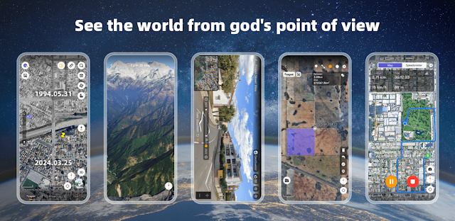
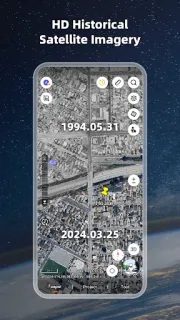
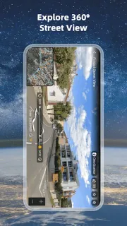
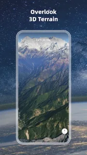
The app combines a high-definition 3D globe with world and satellite maps, a compass, area and distance measurement, and historical street view. It also supports GIS-related files including KML/KMZ, GPX, DXF, DWG, SHP, CSV and GeoJSON, which gives a small team another way to inspect project data. UTM and MGRS coordinates are included for people who use those formats. The listed imagery coverage spans many countries and regions, so check your intended area in the app before making it central to a trip planner.
Map tiles and satellite imagery need data to load, so browsing away from Wi-Fi may use mobile data. Detailed map content can also take storage on a phone. The app contains ads and offers in-app purchases; I’d check the Google Play listing for those details before handing the phone to a child or relying on it for a shared task. A compass and measurements are handy reference tools, but I would confirm important navigation details with a dedicated source.
Install it if your family or small team wants to examine terrain, compare landmarks, or open supported map files on a phone. It may be a poor fit if you need guaranteed coverage for every location, turn-by-turn directions, or an ad-free experience. For a vacation packages search or hotel deals comparison, it can help you see the surrounding area, but it is not a booking service. Check the Google Play button just below to open the listing and decide if it fits your group.
 TipsEarth 3D Map-StreetView